
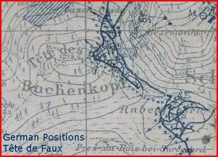
ALSACE VOSGES - Tête de Faux - Buchenkopf
Year of visit: 2004, 2007, 2008, 2009
The mountain, the Tête de Faux or in German the Buchenkopf; a report of 3 visits on 1 page.
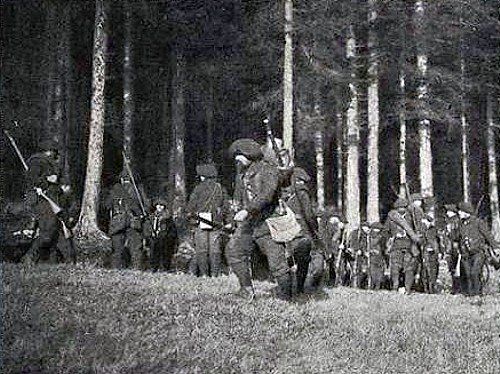
Two visits of 2007 and 2009 to the former French positions on the south west side of the Tête de Faux, scene of the terrible losses of the French 215th Infantry Regiment between 21 September and 2 December 1914, up to the summit.
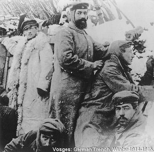
Next on this page other visits in 2008 and 2009 to the perhaps even more impressive relics of the German positions on the east slope of the Buchenkopf. This area around the Etang du Devin and the summit was the centrepoint of violent battles around Christmas 1914 until February 1915.
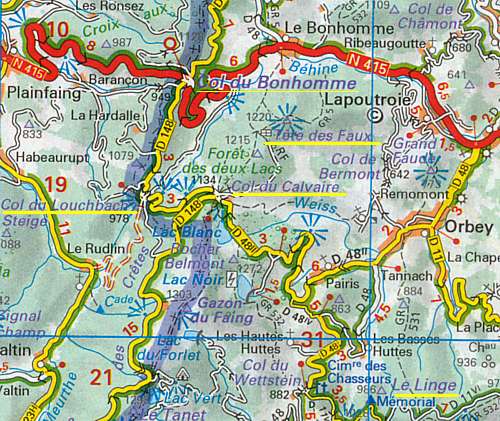
2007: From our base of operations on the Col du Bonhomme we go this time to the right on the D 148, southward.
We drive over the Louchpach pass, ...
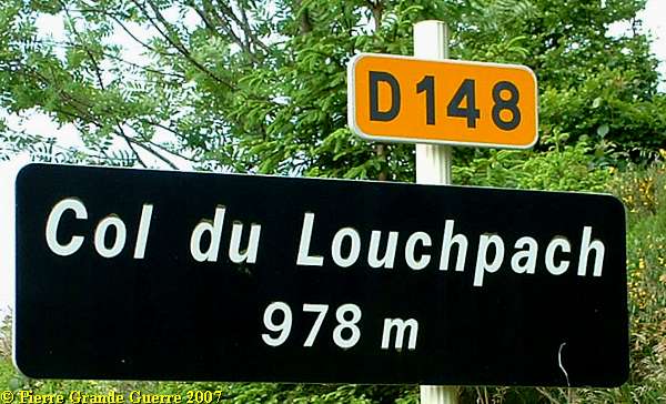
... which was a scène of heavy fighting during the period of August and September 1914, ...

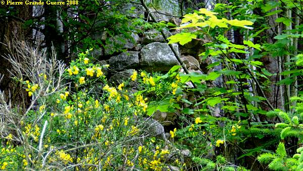
... to reach the parking of the ski station of the Col du Calvaire at 1.134 m. Here we find a small remembrance stone:
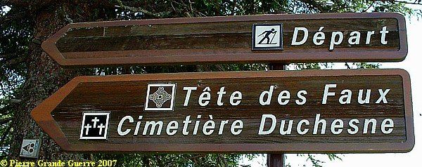
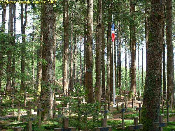
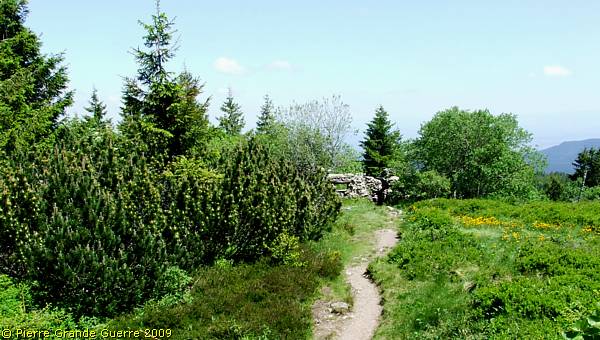
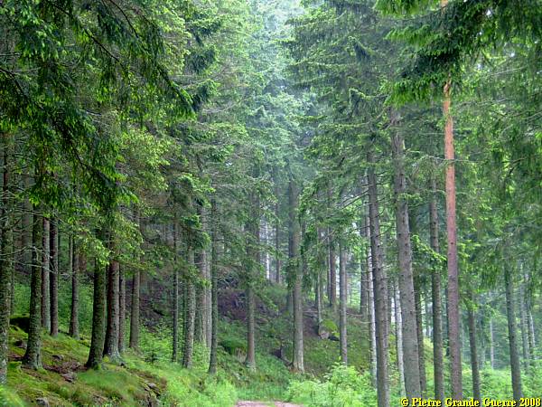
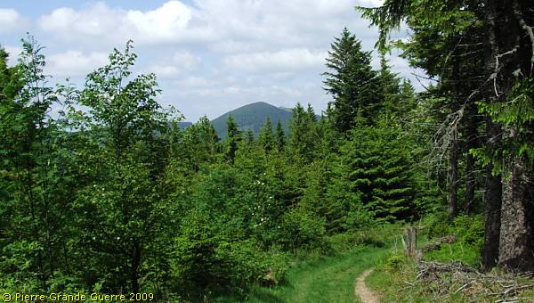
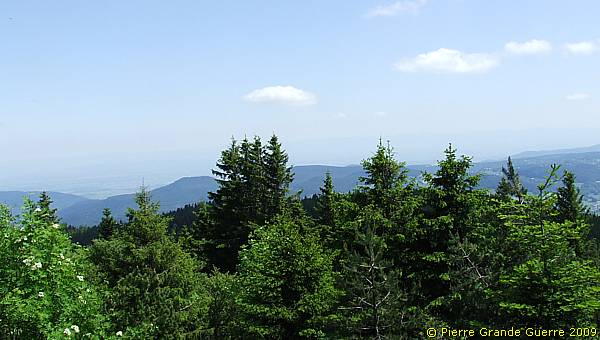
From this modest memorial we depart for a 2,5 km long walk upward the Tête de Faux (1.220 m).
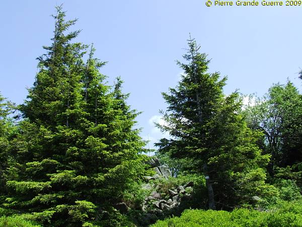
During our laborious walk through a breathtaking mountain landscape, ...
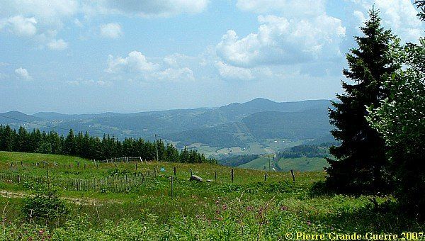
.. I realised that this is one of the summits, ...
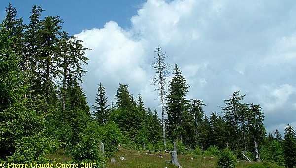
...on which the front of the Vosges would froze from a mobile war in a trench war from around 21 September 1914.
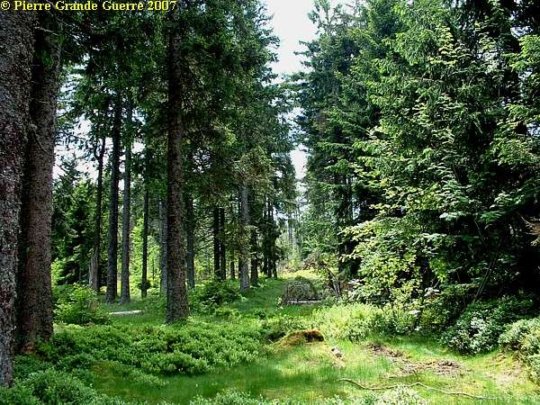
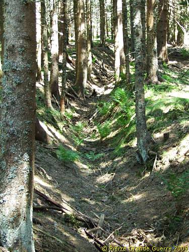
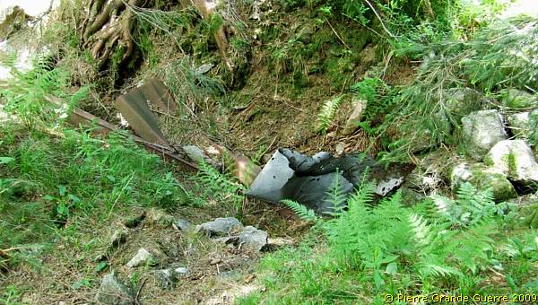
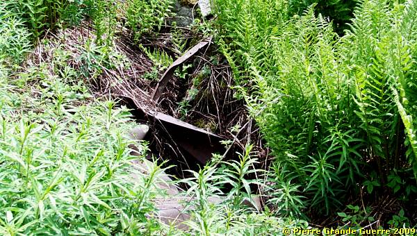
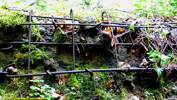
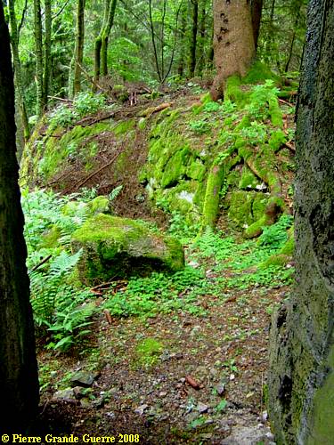
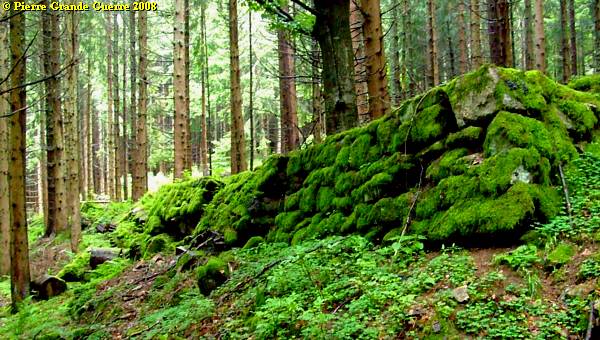
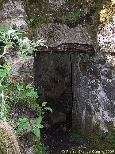
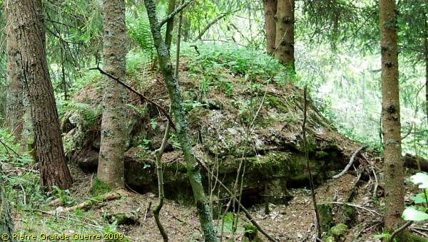
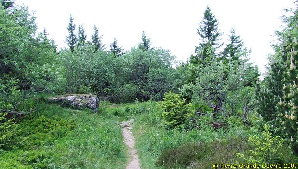
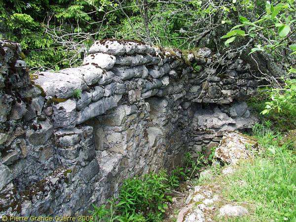
In the dense wood on the southwest slope it is hard to detect...
... the relics of the French trenches like this overgrown ditch.
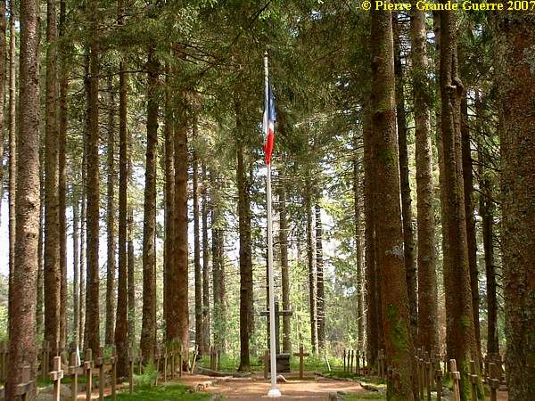
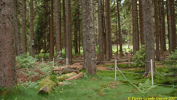
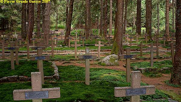
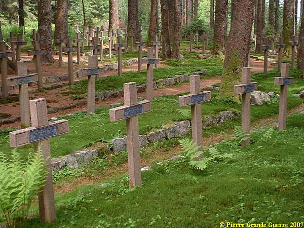
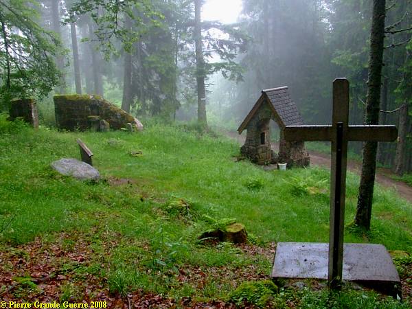
At the height of 1.121 m. we reach the Military Cemetery, named after Commandant (Major) Henri Duchesne.
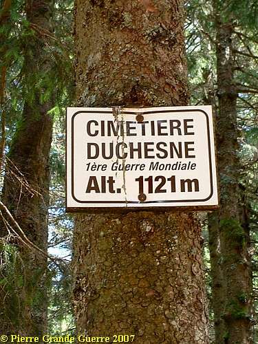
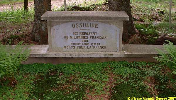
The Cimetière Duchesne contains 292 burials and the bodies of 116 soldiers, together in a communal grave, an "Ossuaire".
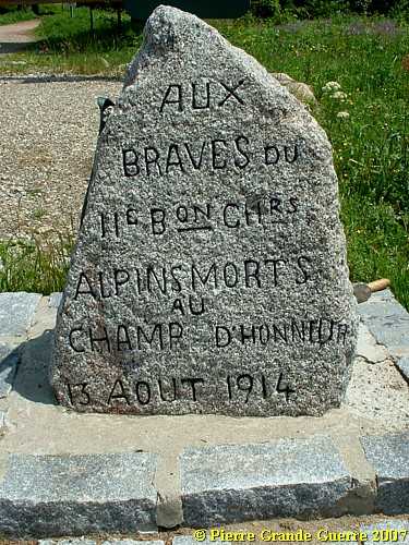
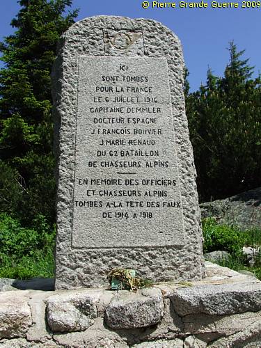
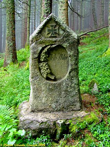
Just outside the gate of the cemetery a stands memorial obelisque:
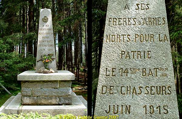
On the left side of the obelisque:
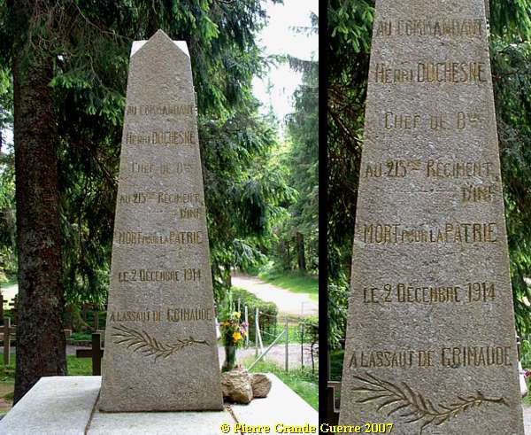
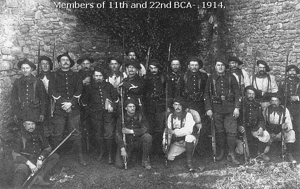
Duchesne's 215e Régiment d'Infanterie
Duchesne's 215e Régiment d'Infanterie occupied this sector of the Col du Calvaire front line on 21 September.
On his left the 280e Regiment d'Infanterie guarded this sector, and on his right the 256e R.I. near the Lac (Lake) Blanc.
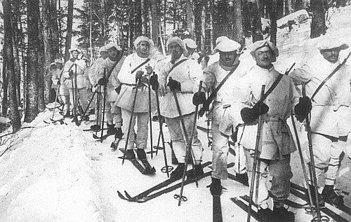
From the end of September the French organised small fortified posts on all the passes in this front sector, on the Col du Bonhomme, the Col de Louchpach, and the Col du Calvaire near the Lac Blanc. From these posts the French regiments organised reconnaissance expeditions, patrols, and raids. On 2 december 1914 Duchesne launched an attack from the south and the south-west to clear the eastern slopes of the Tête de Faux from the Germans.
Three other large units, like the 152nd Infantry Regiment, the famous "Red Devils" 152e R.I., assisted the attack at targets around the summit, like at the village of le Bonhomme.
At 8.00 AM Duchesne was among the first soldiers and officers, who fell during the attack by machine-gun fire. Soon after the start of the attack the French were stopped by the German superiority of their better fortified trenches and their better defense tactics. The French units were forced to retreat to their original positions. At midnight there were only 2 small parties of soldiers left of the whole French 215e R.I.

We explore the cemetery in silence.
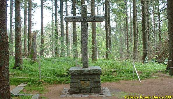
A crucifix in memory of the fallen soldiers of the Bataillons Chasseurs. Notice at the base the hunting horn, the emblem of all Chasseurs Batallions.
The communal grave of 86 soldiers, among them Louis Bouchy of the 152e R.I.
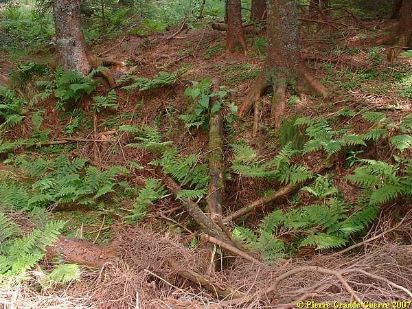
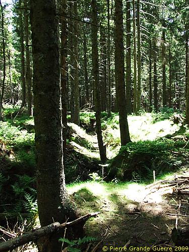
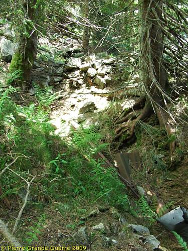
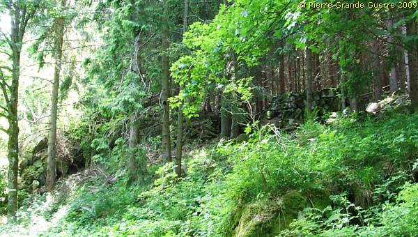
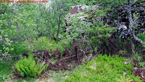
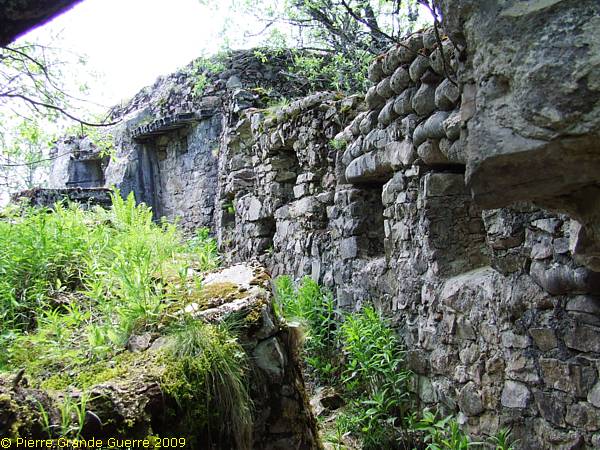
Behind the Duchesne Cemetery we go upward and we detect traces of French trenches.


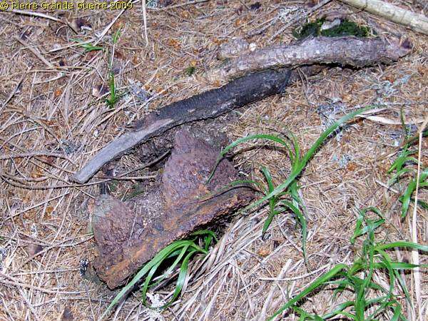
Relic: the base of a German artillery grenade.
The French occupation of the Tête de Faux
Although the French would launch more attacks from 19 December 1914, they would succeed to occupy the summit of the Tête de Faux for only two months, between 24 December and 19 february 1915.
From 24 February 1915, the Germans would stay, and continue to occupy the eastern slopes and the eastern half of the summit of the Tête de Faux.

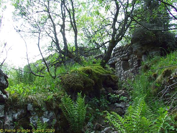
Now we do slowly reach near the summit from the French side.

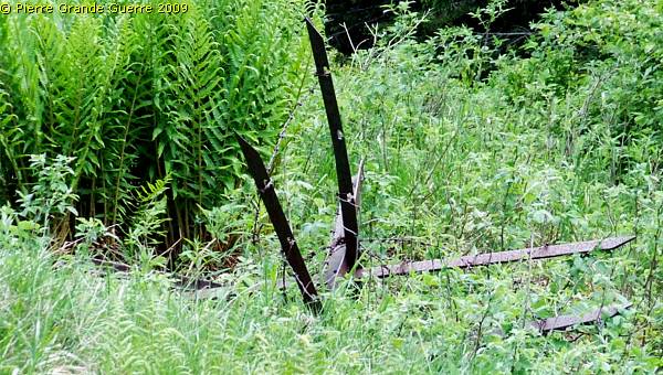
Metal pieces with "Bleu Horizon"-paint on it.
Traces of barbed wire obstacles.
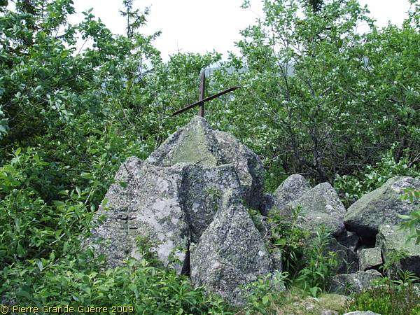
A few meters from the summit stands a memorial for the Chasseurs Alpins, who died here on this spot in July 1916.

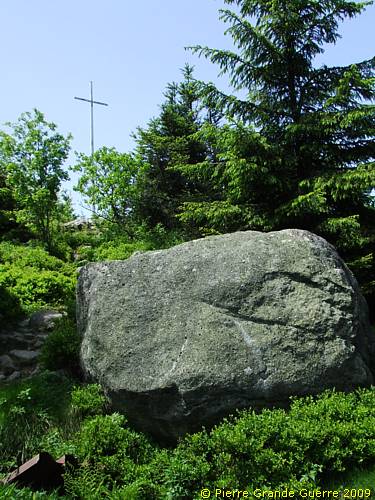
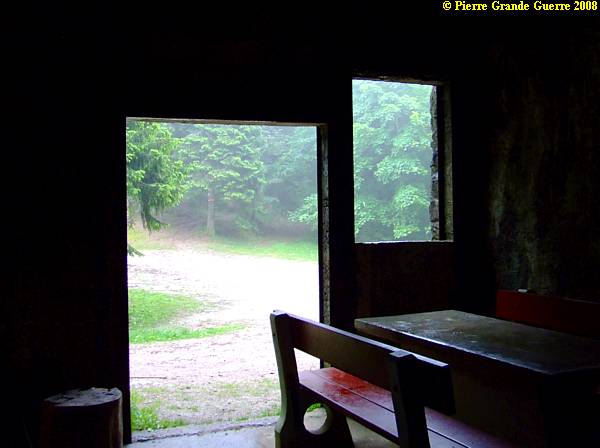
On the summit of the Tête de Faux.
The cross at the summit at 1.208 m.
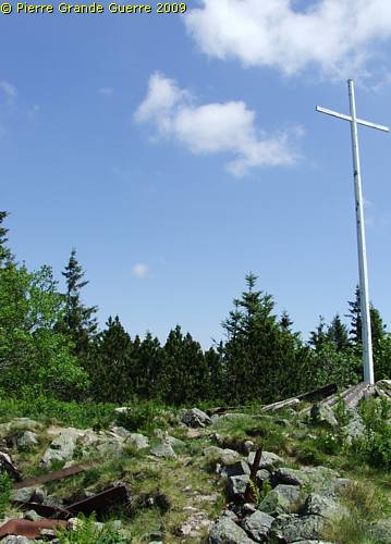
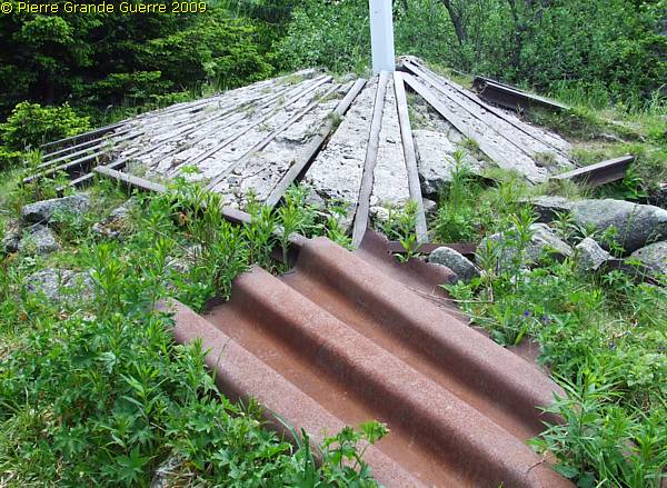
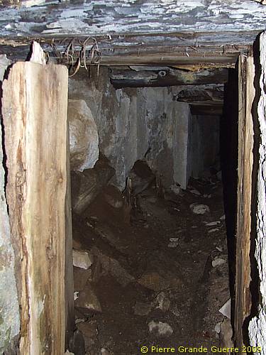
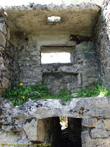
A concrete shelter under the the base of the cross.
But even after that period of 1914 - 1915 the area would stay a bone of contention.

The French front line trenches during the period of December 1914- February 1915.
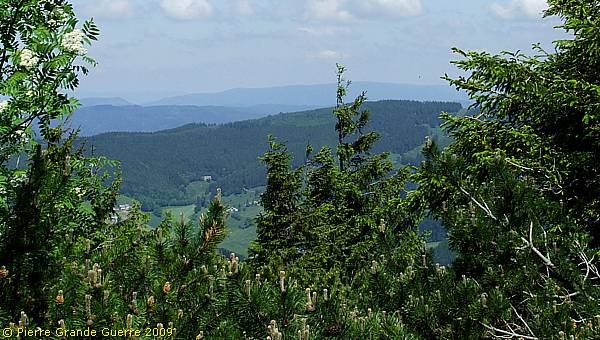
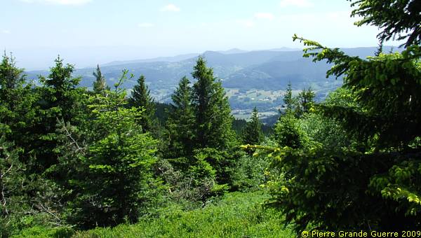
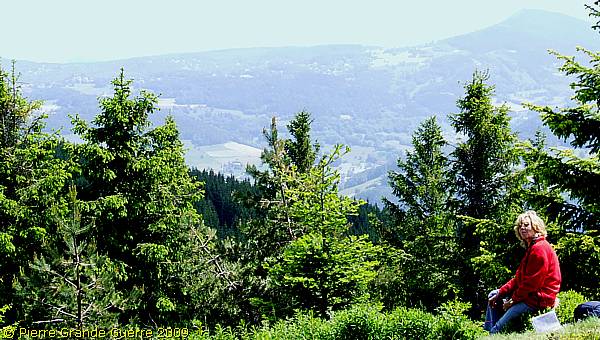
Panorama view from the summit to the north.

View northeast.

View eastward.
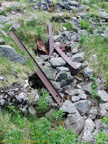
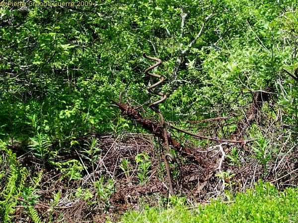
Large and deep sections of rusty barbed wirde obstacles, ...
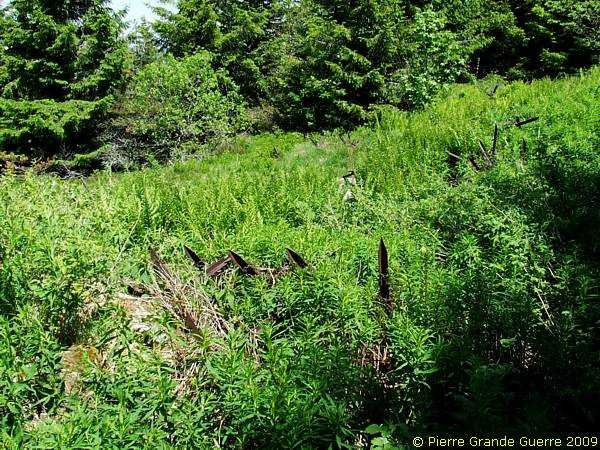
... remind us of the location of the former No Man's Land on the summit.

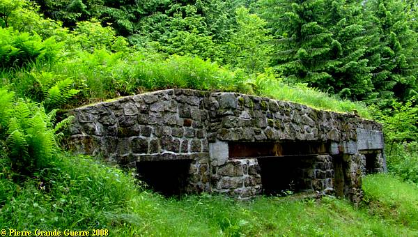
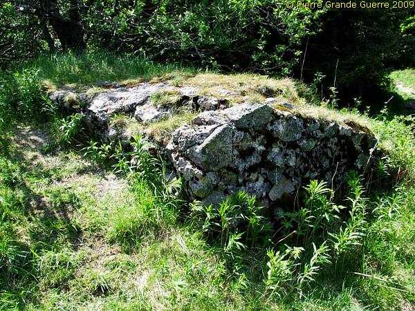
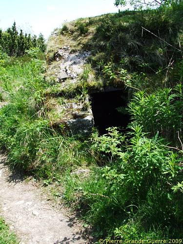
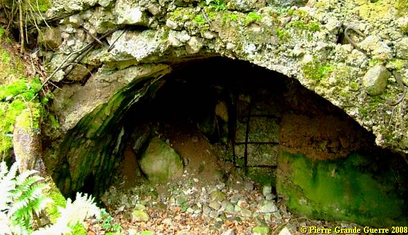
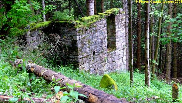
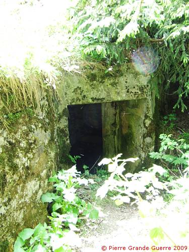
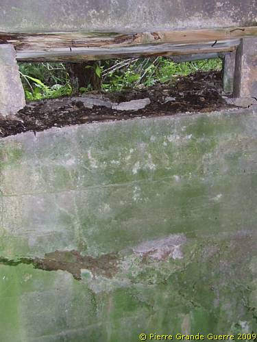
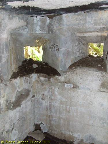
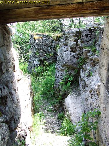
We pass this last bunker of French origin, half way in No Man's Land. Possibly it functioned as an advanced listening post.
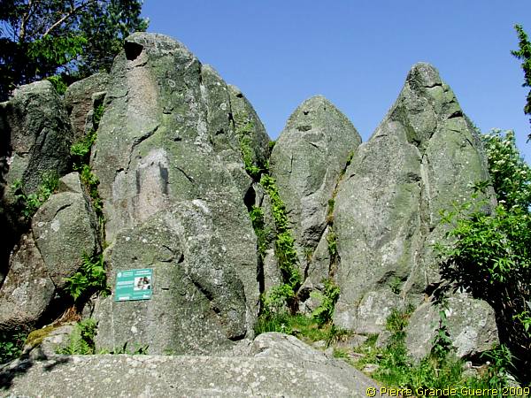
No Man's Land. View at the first German line: "Stützpunkt Buchenkopf".
"Stützpunkt Buchenkopf".
Panorama view from this spot.
2008 and 2009 - The German positions on the Buchenkopf
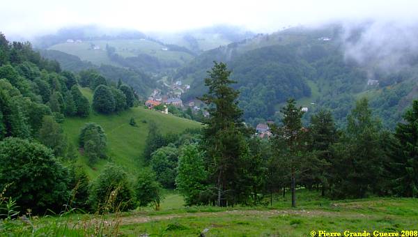
On a foggy day in June 2008 we approached the Tête de Faux, or the Buchenkopf from the north side, departing from the village of le Bonhomme, to visit the relics of the German positions on the east flank of the Buchenkopf. In 2009, on a sunny day with clouds, we continued our explorations further, but again from the same side.
View at le Bonhomme from the northern slope of the Tête de Faux.
We start our walk at a height of 830 m., and we will go up to 1.208 m.
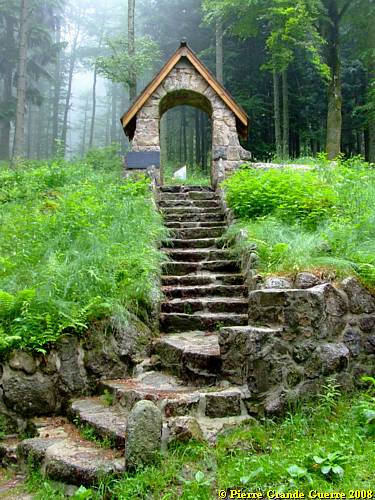
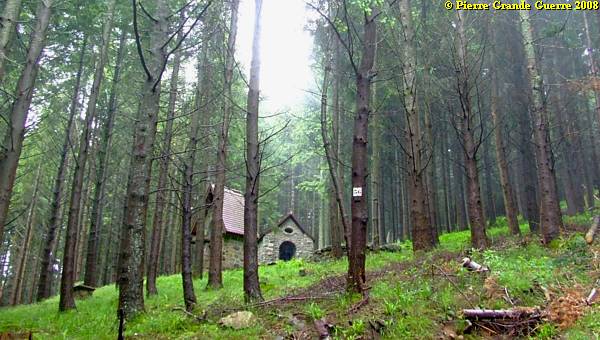
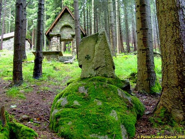
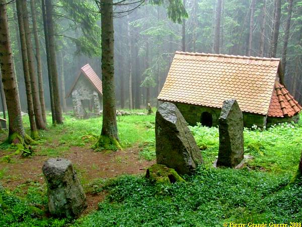
The first location we encounter is a Bavarian made wartime cemetery .
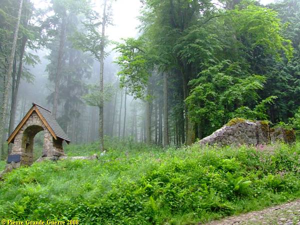
The entrance and the masonry gate is still in tact.
During the post war clearing operations the French left some relics of the former German cemetery.

Some tombstones and plaques for soldiers are left, ...
... mainly Bavarian soldiers, killed nearby during the fights for the summit.
Under this stone in the former cemetery wall, 4 Bavarian "Landwehrmänner", fallen in July 1916, used to "rest here".
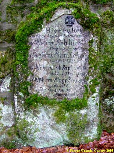
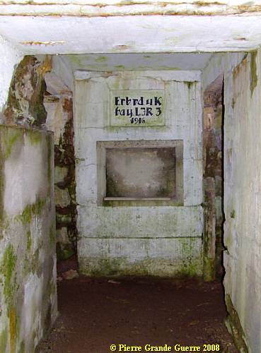
Next: this triangular shaped plaque.
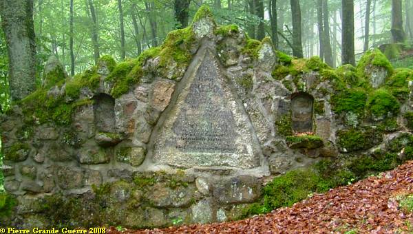
The text for Hans Schneider and his comrades is for the most unreadable.
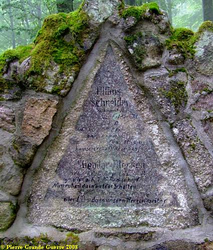
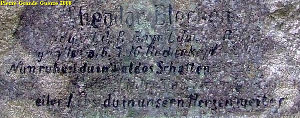
This text could have been hand painted by a comrade of Theodor Blecher (?), a Bavarian Landwehrmann, who was killed at the Buchenkopf on 6 June 1916:
We leave the cemetery downward.
Some few meters away, almost below the cemetery: ...
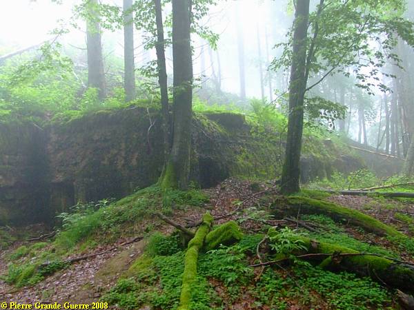
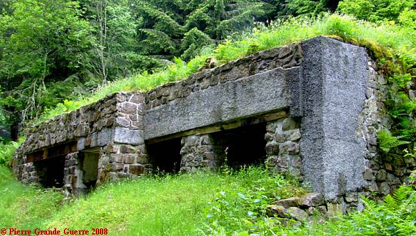
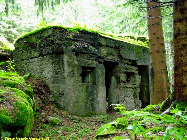
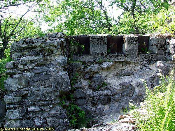
... a Bavarian dressing station built in 1915, and reinforced with concrete in 1916. The front of the bunker, from left to right.
The slope was too steep, ...
... to make a picture of the total length of the front.
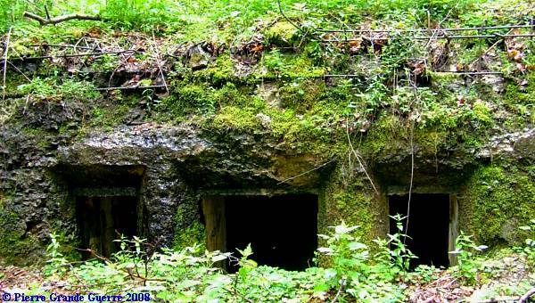
The "right" corner.
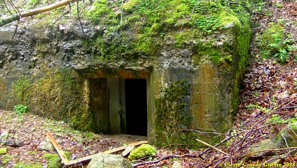
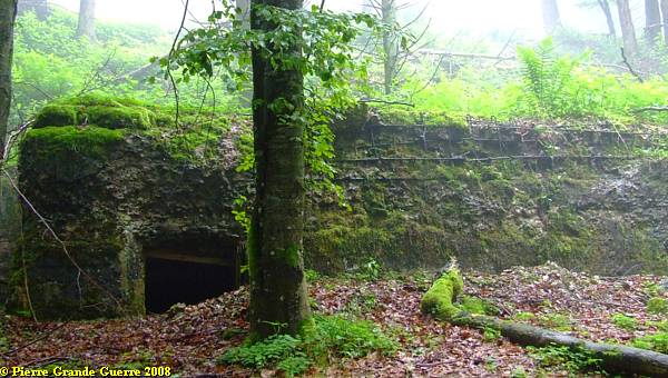
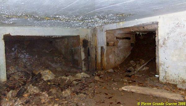
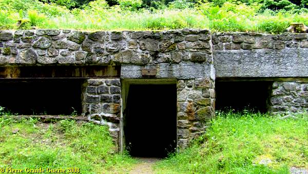
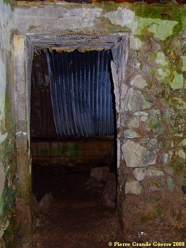
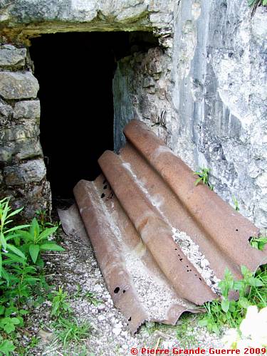
The entrance is in the relic of a trench, on the left side of the bunker.
At the door opening: In the bunker there are some filled in entrances to underground corridors.

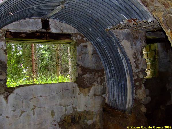
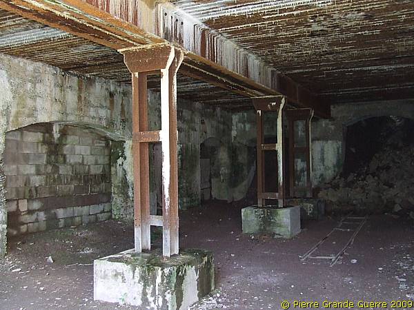
The 20 m. long bunker has two large rooms.
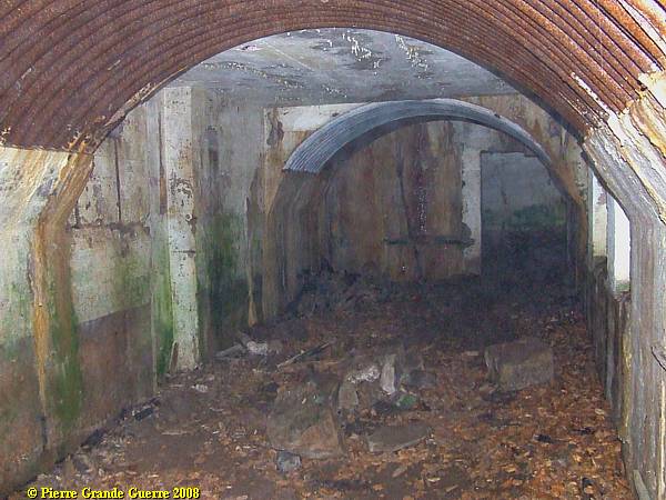
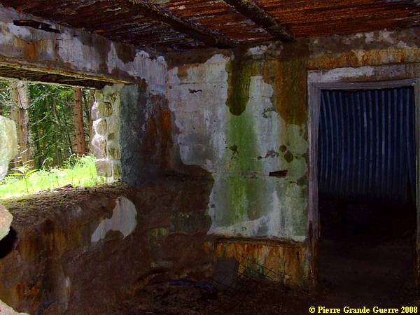
In the corner of the second room: again filled in corridors to man made dug-outs under the mountain.
View of the interior of the second, "right" room.
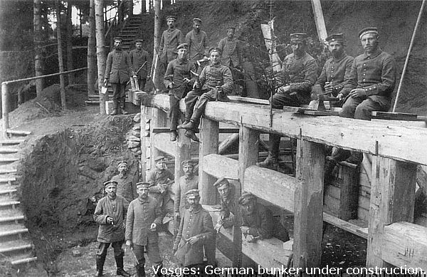
In 1914 and 1915 the Germans used masonry of natural rocks for their constructions.
Back to the forest road near this former dressing station:
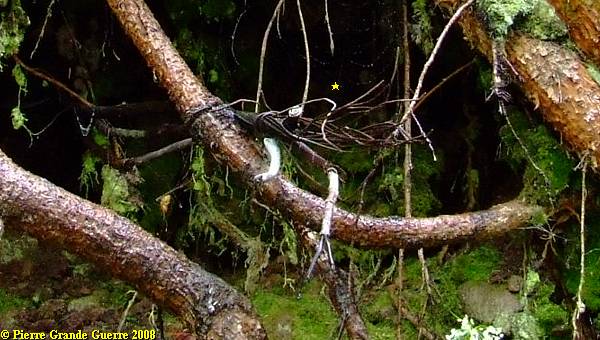
German telephone cables still sticking out.
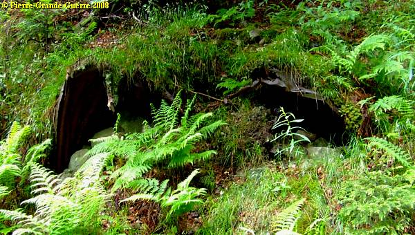
Elephant shelter shaped, ...
... filled in dug-out entrances, ...
... or small shelter bunkers.
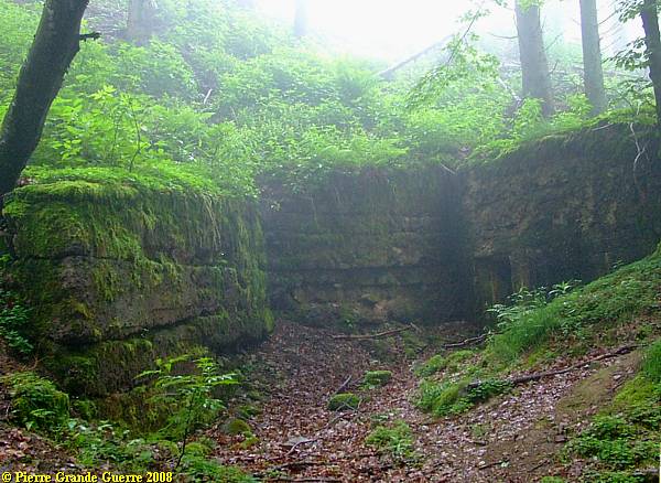
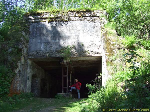
This 1915 power plant building on the bank of the Etang du Devin was a very important for the Germans. Besides a forge in the left room, it accomodated in the right room a Diesel engine generator, which provided electric current for all shelter bunkers in the Buchenkopf sector.
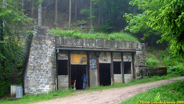
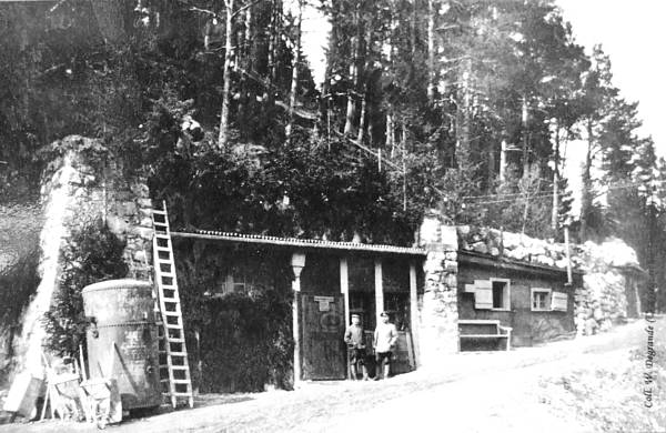
The right, generator room. (The graffitti is of modern tourist mountain hikers.)
This front sector was supplied by a "telepherique", a cable car connection, from the north-eastern village of Lapoutroie, down in the Béhine valley.
The left room, the forge.
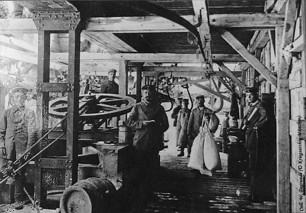
In this sector was also an underground mini railway.
The generator building lies on the bank of the Etang du Devin
, the Sorceress' Pond (926 m.). The Germans called the pond the " Hexenweier
".
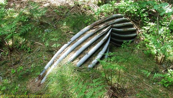
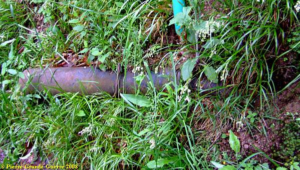
This pond was important for supplying water to the German troops in the whole Buchenkopf sector. Relics of the pumping system along the bank, ...
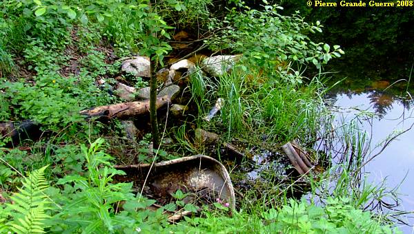
... and water tubes on the bank are still to be found.
The relics of the water pump station, west and above the generator building.
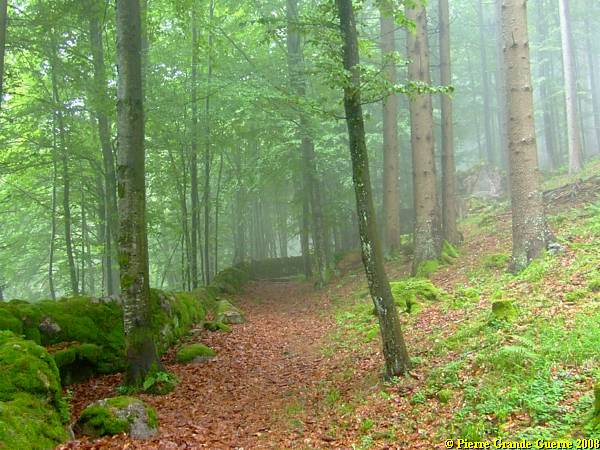
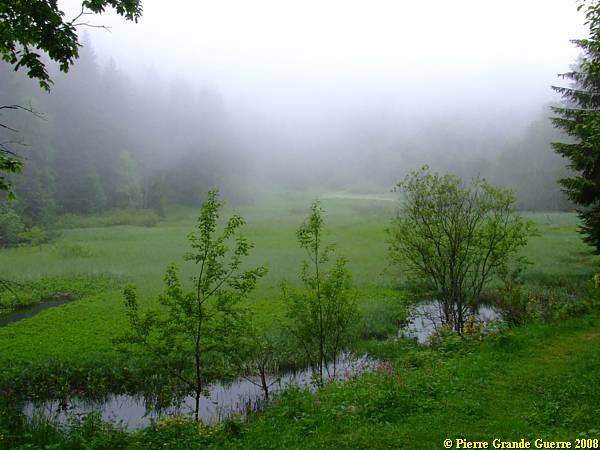
We move on southward through this Tolkien-like landscape.
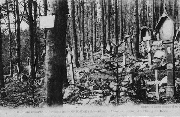
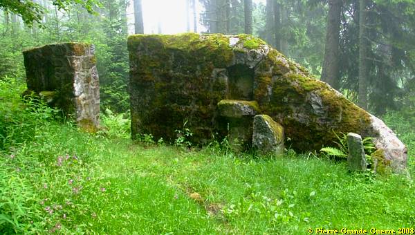
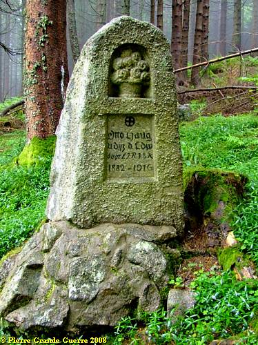
About 1 km. southward from the Etang du Devin, at 950 m. altitude another German wartime cemetery .
In December 1914, around Christmas, ...
... there have been severe battles for the area around both cemeteries near the Etang du Devin on the Buchenkopf, so close to each other.
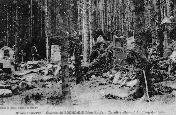
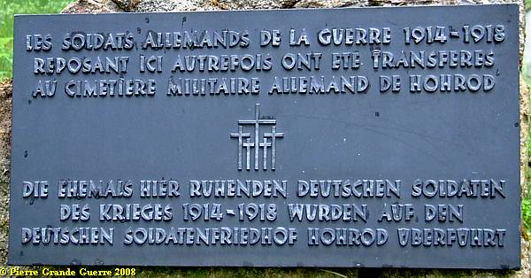
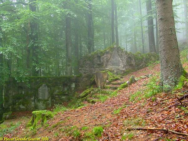
We walk along some left relics. Again: all German soldiers buried here, were transferred to the Hohrod Deutscher Soldatenfriedhof .
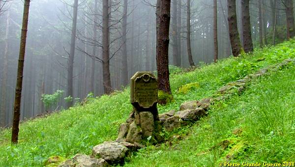
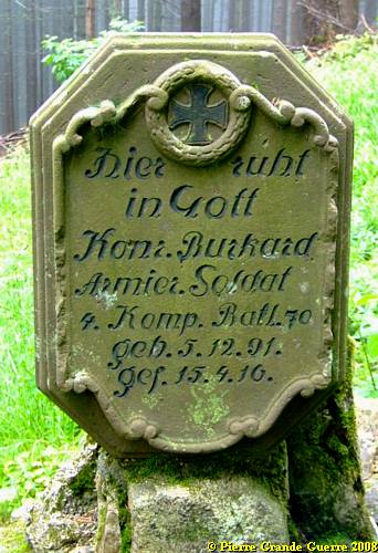
Tombstone of a soldier of an "Armierungs Bataillon", a construction battalion.
The French left the cemetery chapel in tact, obviously for shared religious reasons.
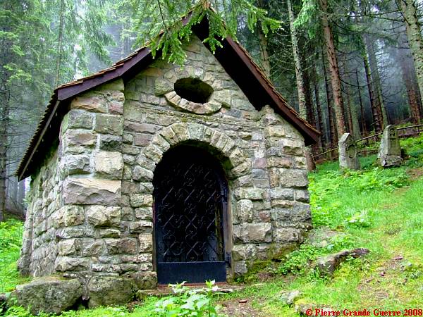
The interior of the chapel.

Three tombstones of 1916.

We leave the wartime cemetery southward, ...
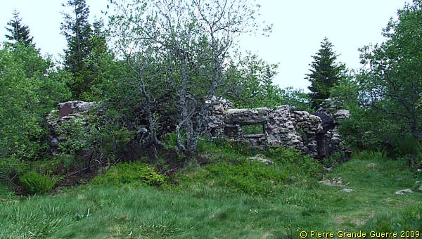
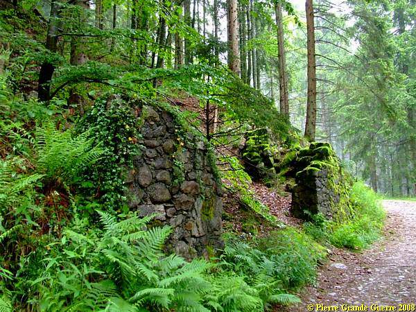
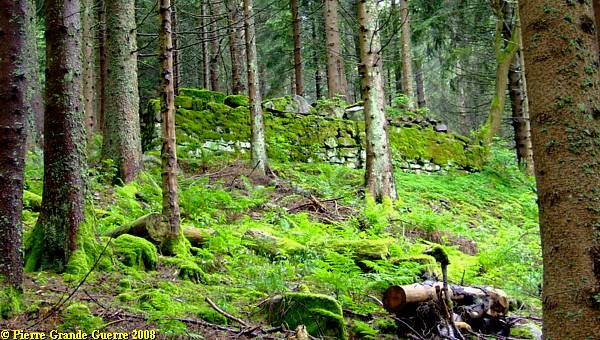
. .. pass some relics of German masonry buildings, ...
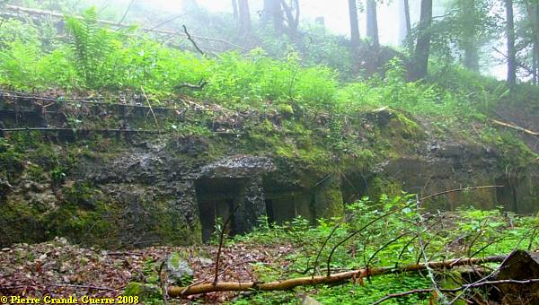
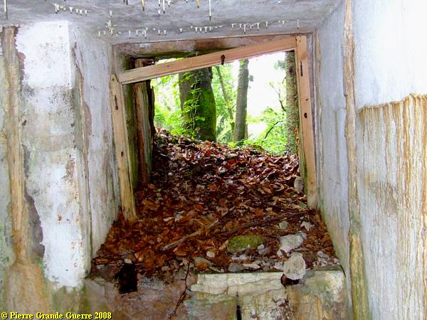
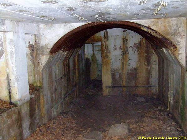
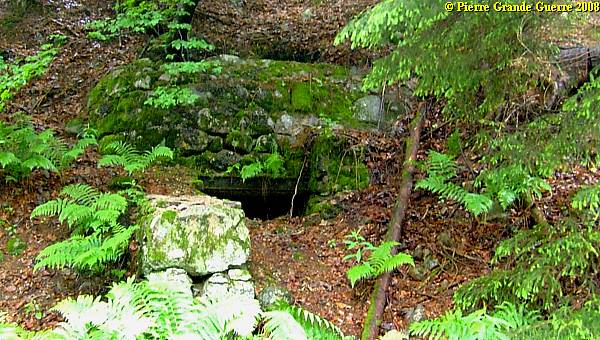
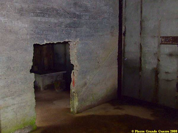
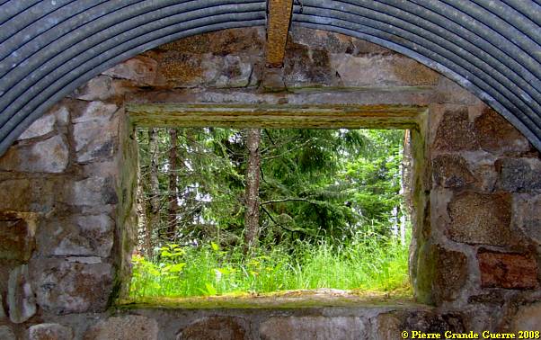
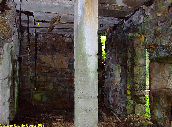
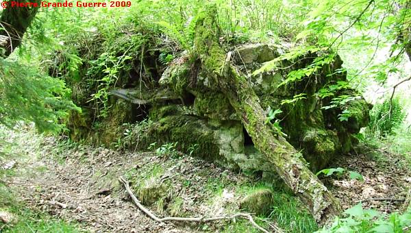
... to find this other German dressing station bunker.
It has been used since 1915, ...
... but it has been reinforced with concrete and enlarged in 1916. The interior from the entrance:
The interior of the bunker.
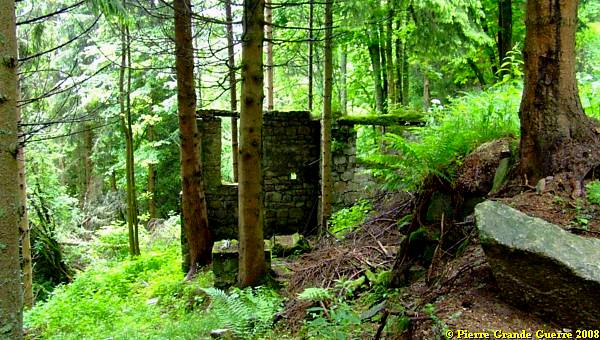
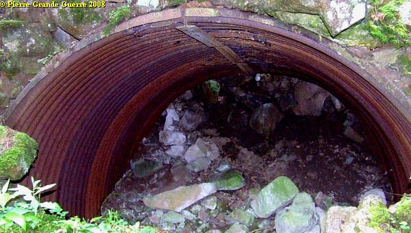
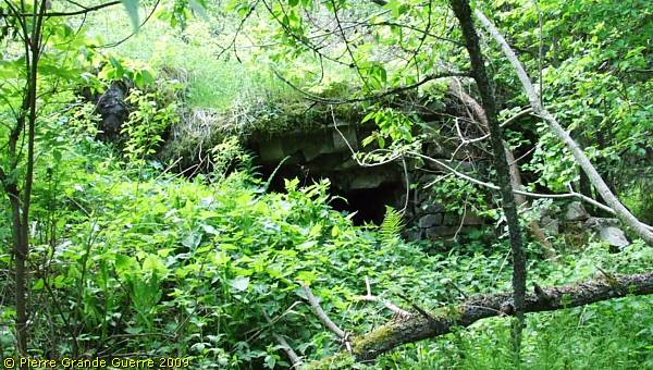
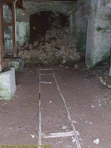
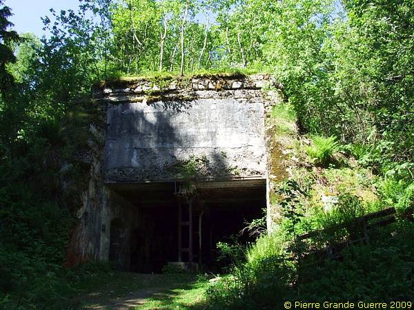
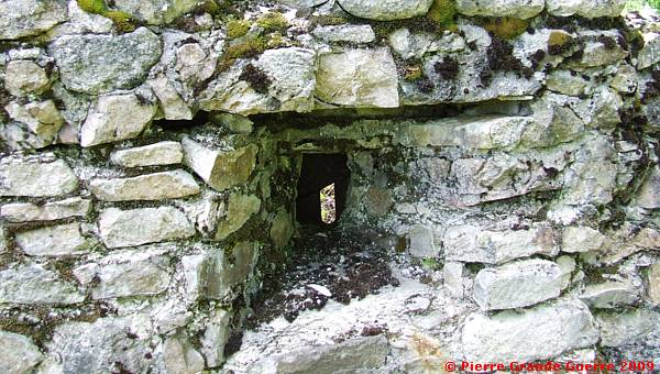
Some 50 m. furtheron and below the path of the dressing station, the entrance to an interesting 1916 bunker.

These are relics of the second cable car station, " Rohlbahntunnel Station Koenig Ludwig ", from Lapoutroie.

We went down to take a look at the downhill front of the concrete bunker.
The bunker is connected with (relics of) a communication trench.
1916 Concrete on the outside, 1915 masonry on the inside of the walls. The mark points out the telephone and electricity cables.
This building served as the second of the cable car stations. The third one is near the Roche du Corbeau and the summit, which we will visit later.

View from the uphill side exit.

Next to the bunker relics of a 1915 masonry building.
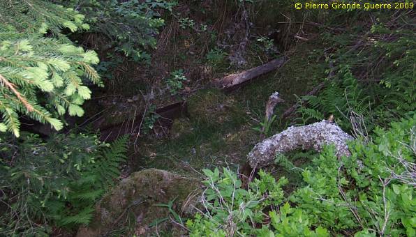
The hardly detectable trench is running below, ...
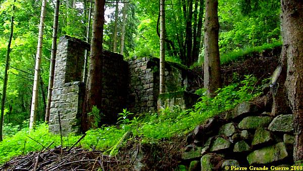
... and parallel to this building.
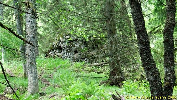
We move on more upward through the wood.
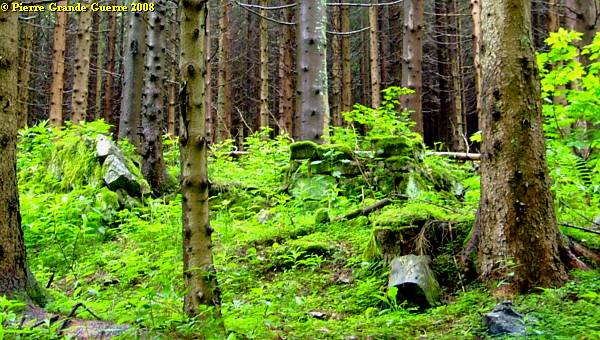
As we come nearer the Roche du Corbeau, we will not find much concrete anymore.
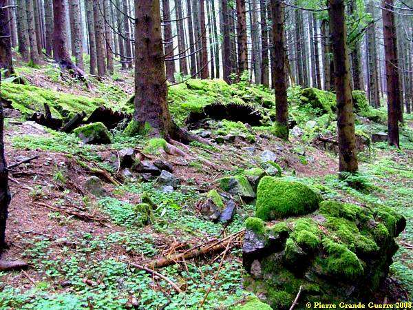
But still we find relics of trenches, ...

...like these corrugated boards, masonry bunkers, ...

... and more elephant shelters and filled in entrances to dug-out tunnels.
We are now in the neighbourhood of the third "Rohlbahntunnel Station" .
Chris in the third "Rohlbahntunnel Station", near and still below the Roche du Corbeau.
The interior of the "Rohlbahntunnel Station".
Almost on top of the station lies the Roche du Corbeau .
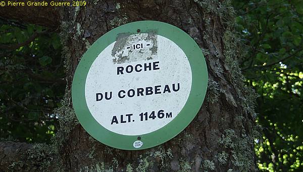
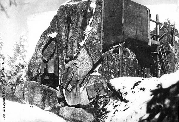
Two period photos of the Roche du Corbeau.

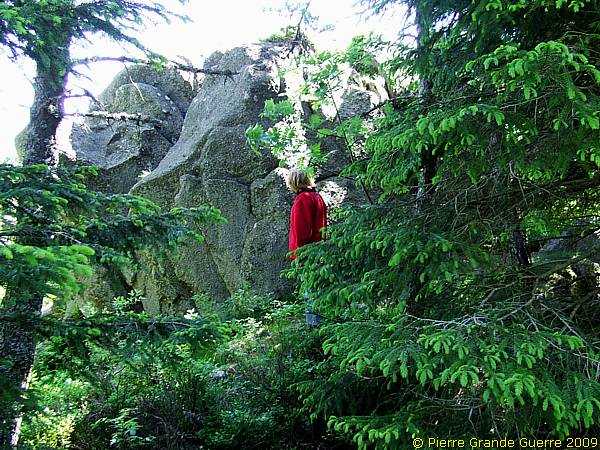
Relic of a shallow trench along the rock.

The Germans hacked out a man-made cave under the rock for shelter.
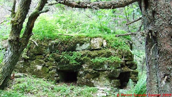
We climb on along the bunkers, belonging to the chain of " Feste Eisenschmid ".
This bunker has rifle holes to all directions.

Of course I had to enter it using my flash light.
The opening is wide enough to mount a machine-gun.
Some other rifles holes on the outside of this bunker.
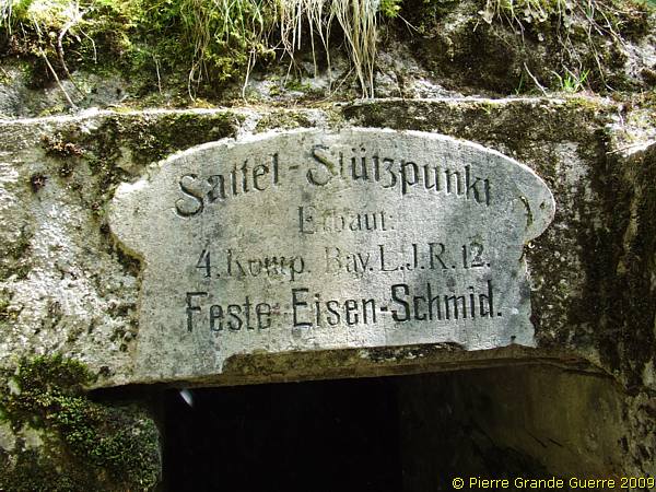
Another Bavarian bunker: " Sattel-Stützpunkt ".
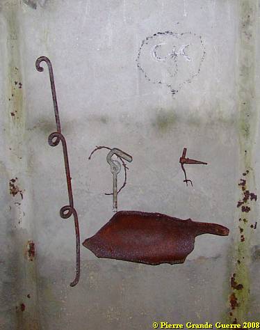
At last some proof of the presence of the constructors!
We climb furtheron in the direction of "Stützpunkt Buchenkopf".

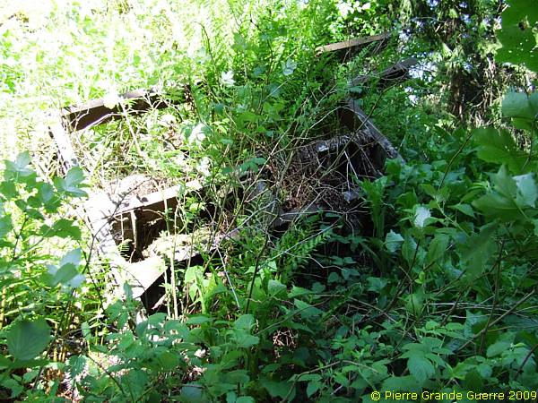
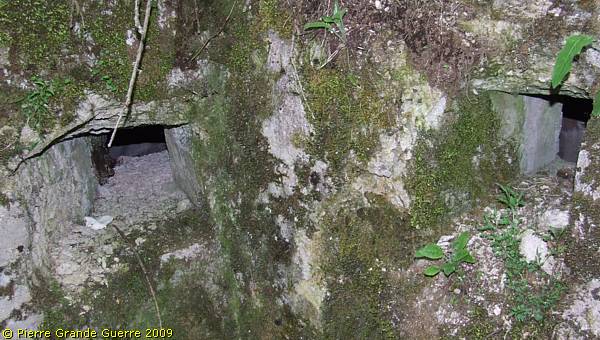
Passing some more interesting bunkers and rusty barbed wire.
The first traces of the elaborate "Stützpunkt Buchenkopf".
Panorama view from this location.
" Stützpunkt Buchenkopf " as seen from the French side.

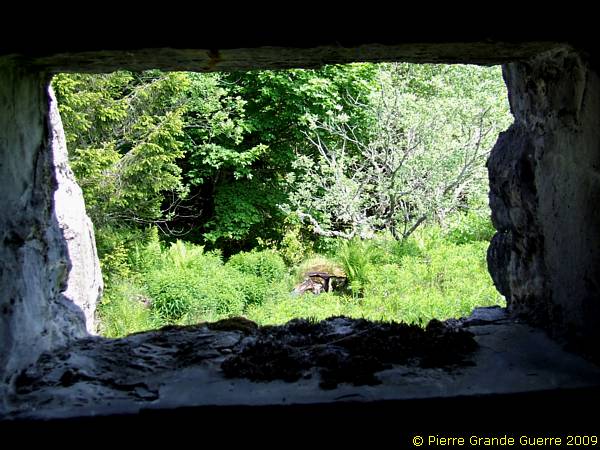
View from this point into the direction of No Man's Land, and the French part of the summit.
Relics of barbed wire obstacles in front of the "Stützpunkt".
Of course we explored the "rear side" and the interior of the bunkers and trenches complex.

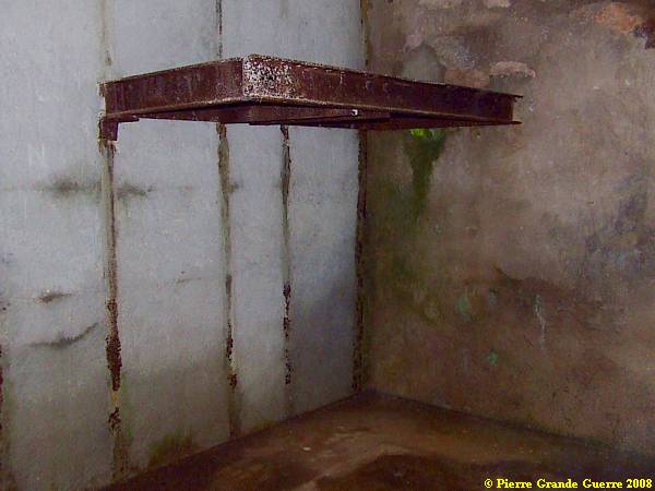
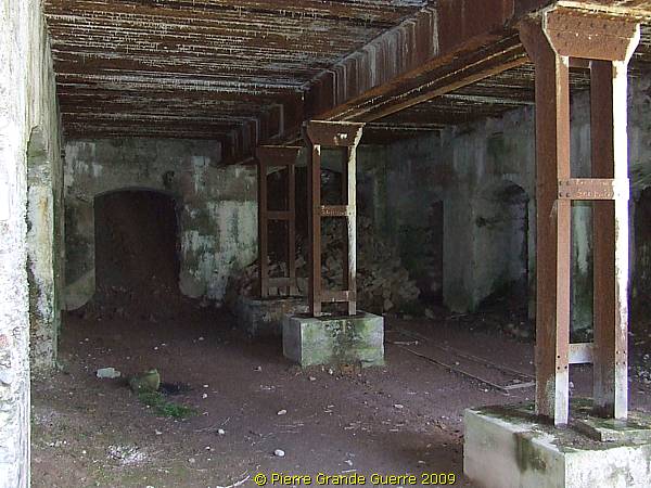
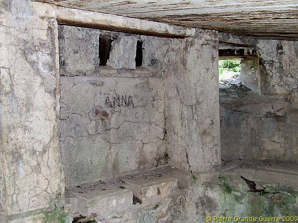
The bunker is a 3 storey building.
Hardly readable: Proof of the name of the stronghold.

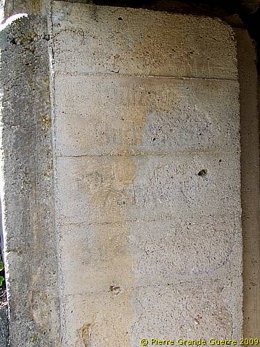
The interior used to have 3 floors.
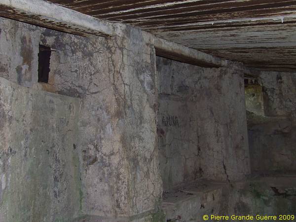
Beware; the floor in the middle has been lost. Don't fall in!

I suppose "Anna" is alas a modern mountain hiker's girl.
We go outside the bunker to follow the trench northward.
Steel rifle shields are still in tact.

With this last picture of the summit we complete our virtual tour over the Tête de Faux.
Continue to the front sector of le Linge or the Lingekopf: " Col du Wettstein - Schratzmännele "


